- Teacher: Adam Morgan
As part of the Graduate Diploma in Meteorology, all students will need to complete this module of the course.
This module is divided into two key areas; forecasting thunderstorms and nowcasting thunderstorms. The trainees will be introduced to the basic conceptual ingredients for thunderstorm forecasting, focussing on surface based convection, but also including elevated convection. Trainees will learn various thunderstorm modes, such as; single cells, including supercells; and multicells, including mesoconvective modes; and associated hazardous weather. In the nowcasting section, trainees will learn to use the tools to help forecast and identify a range of thunderstorms.
The module assumes sucessful completion of the following pre-requisite modules; Thermodynamics and Hydrostatics, and Radar Meteorology.
| Method: |
Blended |
| Duration: | Approximately 13 one hour learning sessions and 2 practical sessions ( 3 hrs each) |
| Assessment: | An assignment, 2 practical sessions and a 2 hour theory exam |
| Help: | Contact Kirsty Turner |
- Teacher: Ross Bunn
- Teacher: Adam Morgan
- Teacher: Harald Richter
- Teacher: Dean Sgarbossa
- Teacher: Timothy Smith
- Teacher: Peter Stapleton
- Teacher: Kirsty Turner
- Teacher: Bodo Zeschke
|
|
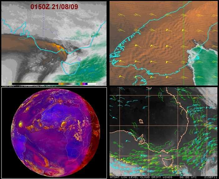
This course is an extension to the Radiation and Basic Satellite Meteorology Subject that is offered during Unit 1. New topics include:
|
| Method: |
Interactive classroom lectures and practical sessions. |
| Duration: | 6 lectures of one hour duration each, 2 hours of practical sessions, 1 hour of revision, 2 hours of open book examination. |
| Assessment: | One Assignment and the Final Exam. |
| Help: | Course lecturer, Bodo Zeschke |
- Teacher: Adam Morgan
- Teacher: Bodo Zeschke
This course prepares you for forecasting hazards relating to Aviation.
The following topics will be covered:

- Volcanic Ash
- Airframe Icing
- Turbulence (High and Low)
- Low Level Wind Shear
- Thunderstorms
- Fog
- Low Cloud
- Duststorms
- Tropical Cyclones
- Tsunami
- Smoke
Method: Blended
Duration: 11 x 1hr lectures;
Assessment:
Competency: Group presentation and handout, weekly tasks.
Help:
Contact:
Tristan Oakley
- Teacher: Alison Cook
- Teacher: Adam Morgan
- Teacher: Tristan Oakley
- Teacher: Timothy Smith
The Cloud Microphysics module investigates the microscopic physical processes occurring inside a cloud. It seeks to address the following theoretical question: "How do embryonic liquid and solid hydrometeors form in the atmosphere and, remarkably, increase their size by many orders of magnitude to form precipitation, in time frames as short as ten minutes?" The conclusions drawn have some very useful applications to aviation and convective forecasting (in particular).
Following a brief review of moist thermodynamics, the nucleation of liquid water droplets and the role of atmospheric aerosol in this process is examined. Various means by which liquid water droplets can grow inside a cloud are considered and in particular, their significance in the formation of precipitation size drops. This leads to a set of general conclusions regarding the microscopic structure of liquid water clouds and their likelihood of producing precipitation.
Attention then turns to sub-freezing environments and under what circumstances the nucleation of ice particles can occur in clouds. This is followed by a look at the various growth processes of ice particles and the types of frozen precipitation that can result. With the presence of ice intrinsic to the formation of lightning, a model of charge separation within a cumulonimbus cloud is presented and the role of lightning in the global electric circuit is discussed.
Several useful forecasting applications emerge. These include rules-of-thumb for the likelihood of precipitation from cumulus clouds, cloud-top-temperature constraints on the occurrence of lightning and a detailed introduction to the aviation hazard of airframe icing and the extent to which its occurrence can be forecast.
| Method: |
Blended |
| Duration: | 12 hours class + 18 hours assignment/study/exam |
| Assessment: | Assignments (1 x 30%), Exam (70%) |
| Help: | Contact Cameron |
- Teacher: Cameron Henderson
- Teacher: Adam Morgan
- Teacher: Callum Stuart
An introductory course covering conceptual models underlying the practice of mid-latitude weather forecasting.
Areas of study include:
1. Global circulation
2. Lows and cyclogenisis
3. Fronts and frontogenisis
4. Jets
5. High pressure systems and blocking highs Jets
Method: | Face to face & online |
Duration: | 14 Lectures2 tutorials |
Assessment: |
|
Help: | Contact: Tim Smith |
- Teacher: Cameron Henderson
- Teacher: Adam Morgan
- Teacher: Timothy Smith
- Teacher: Bodo Zeschke
 This course supports the delivery of the oceanography cours on the Graduate Diploma of Meteorology Course. Class resources, additional activities, online assessments and links to additional resources will be added here prior to and during the delivery of the face-to-face courses.
| Method: |
Blended |
| Duration: | 8x1 hour lectures |
| Assessment: | Oceanography: TBA |
| Help: | Contact: Oceanography - Sean Fitzgerald |
- Teacher: Sean Fitzgerald
- Teacher: Adam Morgan
- Teacher: Tristan Oakley
- Teacher: Timothy Smith
From forecasting turbulence in the lee of mountains, to forecasting variations in tropical weather to describing the development of mid-latitude cyclones an understanding of atmospheric wave phenomena is critical for the weather forecaster.
This course provides weather forecasters with a strong theoretical basis for forecasting the key wave phenomena in the atmosphere including:
- Mountain waves and rotors
- Rossby waves and instability
- Tropical waves
|
Method: |
Face to face and online |
|
Duration: |
22 Hours of lectures & tutorials |
|
Assessment: |
3 Assignments and a 3hr Exam |
|
Help: |
Contact Mick |
- Teacher: Ross Bunn
- Teacher: Cameron Henderson
- Teacher: Adam Morgan
- Teacher: Mick Pope

